Check back here to view materials from the REPI Program and other organizations that better explain current resilience authorities and efforts across the country.
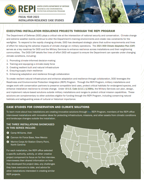 REPI Installation Resilience Case Studies
To learn more about how installations are creating innovative solutions through the REPI Program, members of the REPI office interviewed installations with innovative ideas for protecting infrastructure, missions, and other assets from climatic conditions and landscape changes outside the installation. Click the below links to read each case study:
 2024 REPI Resilience Project Funding Guide
The 2024 REPI Resilience Project Funding Guide serves as a one-stop shop for installations and partners to learn about more than 25 federal and non-federal resilience and conservation programs that can support existing or new REPI installation resilience projects that can support existing or new REPI installation resilience projects.
Please click here to download this document. Updated September 2024.
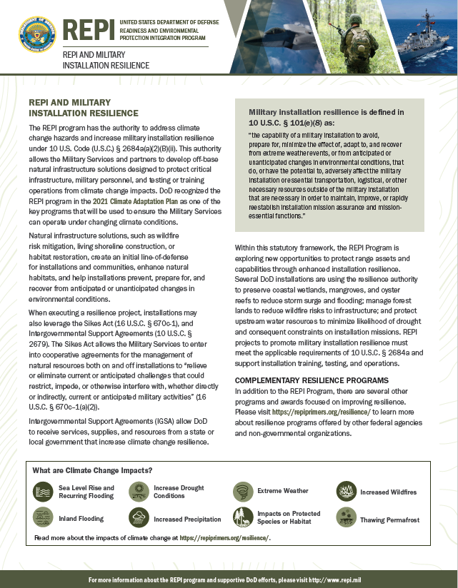 REPI Resilience Fact Sheet
Developed by the REPI Office, the REPI Resilience Fact Sheet provides a brief overview of how the REPI Program interprets the expanded 10 U.S.C. 2684a authority. This fact sheet also provides examples of changing environmental conditions impacting DOD installations and ranges and success stories of how Naval Air Station Pensacola and Fort Huachuca are enhancing installation resilience. Please click here to download this document.
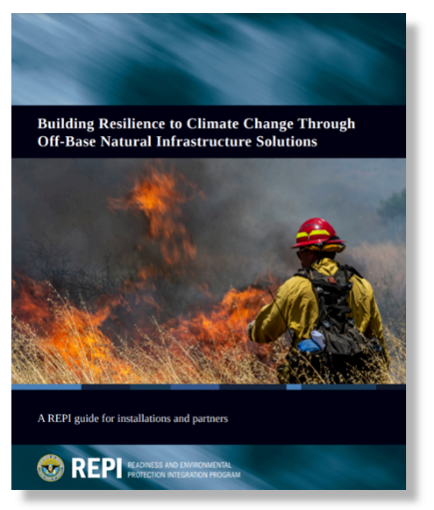 Building Resilience to Climate Change Through Off-Base Natural Infrastructure Solutions
Developed by the REPI Office, this REPI resilience primer provides information on how the REPI Program can be used to implement nature-based solutions to help military installations and ranges and surrounding communities adapt to climate change. This primer includes a background on how climate change is affecting the Department of Defense, how installations and partners can develop REPI resilience projects, and examples of successful resilience projects. Please click here to download this document.
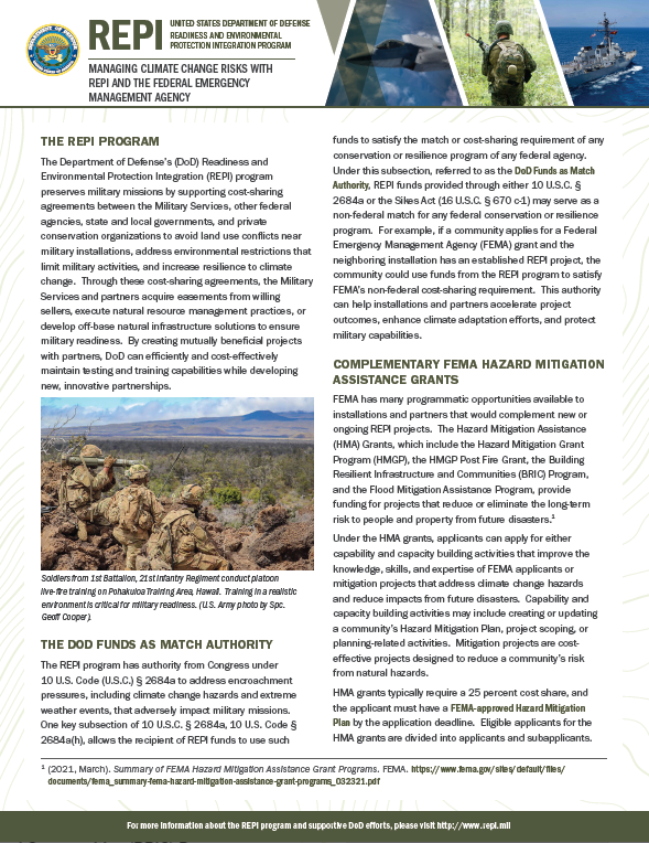 REPI and the Federal Emergency Management Agency
 Developed by the REPI Office, the REPI and the Federal Emergency Management Agency (FEMA) fact sheet explains how REPI partners can leverage funding from FEMA hazard mitigation programs. This fact sheet details how REPI Program funds can serve as a non-federal match for FEMA Building Resilient Infrastructure and Communities Program projects.
Please click here to download this document.
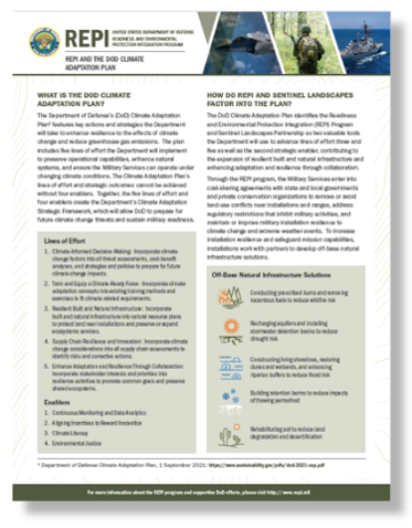 REPI and the DOD Climate Adaptation Plan
Developed by the REPI Office, the REPI and the DOD Climate Adaptation Plan fact sheet explains how the REPI Program and Sentinel Landscapes Partnership will contribute to the strategic goals in the DOD Climate Adaptation Plan. This fact sheet explains the Climate Adaptation Plan’s lines of effort and includes a REPI resilience project example. You can find more climate adaptation examples in the Climate Adaptation Plan’s Companion Document. Please click here to download this document.
 REPI and Resilience
Developed by the Texas A&M University Natural Resources Institute, the REPI and Resilience paper introduces the expanded 10 U.S.C. 2684a authority. It explains how installations and partners can leverage this authority to address changing environmental conditions. Please click here to download this document.
 Resilience Authorities
The Resilience Authorities document provides an overview of the amendments to 10 U.S.C. 2684a and the Sikes Act (16 U.S.C. §670 c-1). It details nature-based solutions and other actions the Services can take to maintain or improve military installation resilience. Please click here to download this document.
REPI Map Resilience Layers: The REPI Interactive Map includes several resilience layers for installations and partners to use in assessing climate change vulnerabilities. Using the National Fish and Wildlife Foundation Coastal Resilience Evaluation and Siting Tool, the REPI Map has “Storm Surge,” “Critical Infrastructure,” and “Critical Facilities” layers to depict changing environmental conditions. Additionally, there are multiple wildfire layers showing wildfire hazard potential as well as active and historic fires. These layers can be found on the REPI Interactive Map website here.
DOD Climate Assessment Tool: The DOD Climate Assessment Tool (DCAT) is an application that allows users to explore installations' exposure to different climate hazards: coastal flooding, riverine flooding, extreme temperature, energy demand, drought, wildfire, historical extreme conditions, and land degradation. DCAT is CAC-enabled, meaning it is only available to DOD personnel and contractors.